Local researchers boost farm efficiency through satellite data and AI
BOWLING GREEN – A local research scientist and his former professor have taken a project that began in academia and developed it into real-world applications that can help farmers.
Mir Md Tasnim Alam of Perrysburg said the research he did for his master’s thesis at Bowling Green State University involved designing systems that combine satellite and drone imagery, direct measurements of crops, and geospatial analytics to provide data on key agricultural factors, particularly nitrogen levels.
The research yielded precise real-world information in a timely matter that can help farmers optimize their usage of fertilizers and other chemicals — improving agricultural production and profitability while also reducing potential environmental harm, Alam said in an interview.
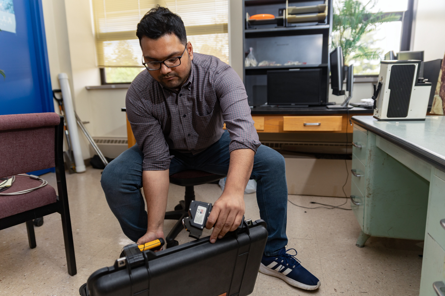
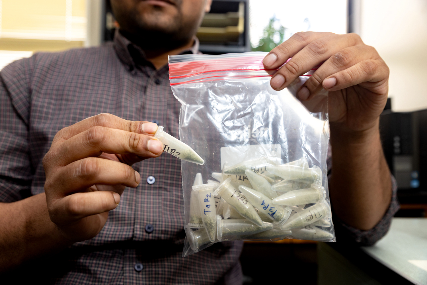
“My goal was to derive chlorophyll, nitrogen, and phosphorus levels of the corn from space,” Alam said. “What do farmers usually do? They take a leaf from their corn plant, send that leaf to the chemical lab to be analyzed, and then get the results.”
It takes time for the labs to analyze the plant and determine if it has enough nutrients or if more fertilizer or other chemicals are needed. And the data is limited because the sample size is so small.
That’s why Alam was inspired to devise a way to provide faster, more precise analyses of the crops.
Sending a leaf to a lab “takes a lot of time and you can’t tell much from one single leaf,” he said. “If you have a huge agricultural land, you’d have to go check leaves everywhere, and that is not an efficient process.”
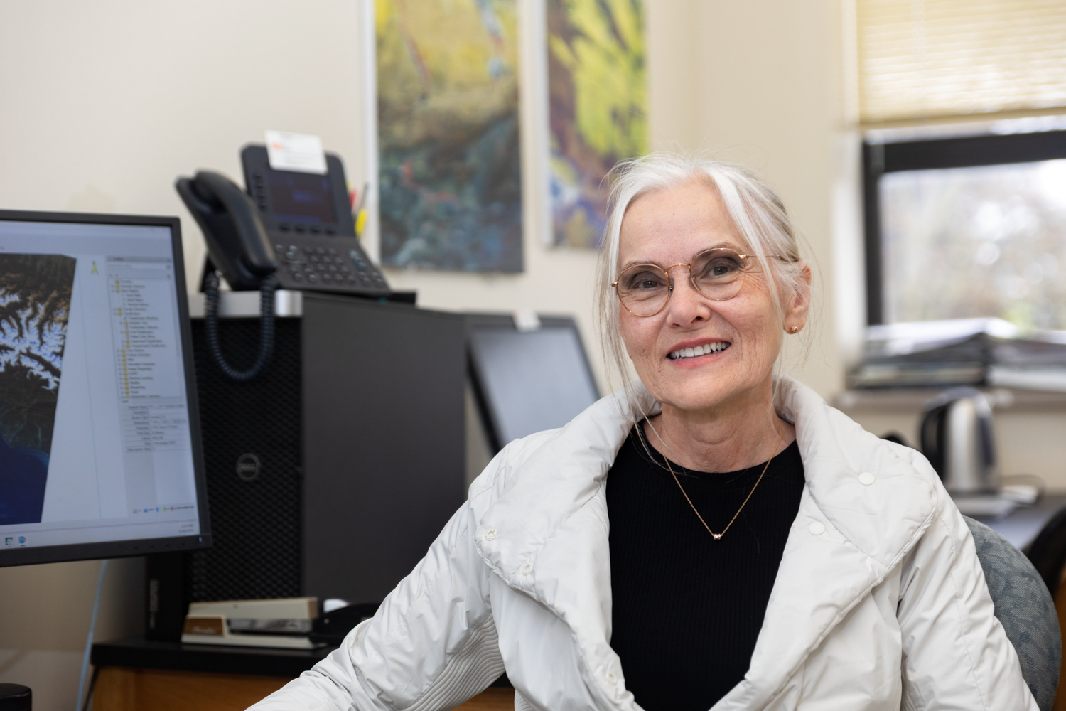
Satellites and drones, by contrast, are able to photograph large agricultural areas, and, using specialized equipment such as near-infrared imaging, provide a wide range of precise data quickly and efficiently, according to Alam and his former professor, Dr. Anita Simic Milas of BGSU’s School of Earth, Environment and Society.
“These data sources can capture subtle changes in plant health, including estimating key crop properties like chlorophyll, nitrogen, and phosphorus,” said Milas, who oversaw and collaborated with Alam on the research.
“[Alam] also incorporated newer data products, such as satellite embeddings available through platforms like Google Earth Engine — compressed, AI-generated representations of satellite data that combine large amounts of optical and radar (SAR) information into a consistent set of features,” she said.
Alam noted that the human eye can see only three basic colors – red, green, and blue and their various combinations — but satellites can provide 217 bands of color that can show specific levels of chlorophyll, nitrogen and phosphorus for crops in each section of a large agricultural field.
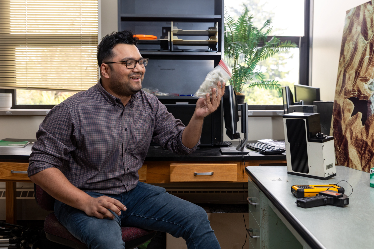
Alam, who now works for Perrysburg-based Satelytics Inc., said he spent a lot of time, including his summer break, researching his thesis for a master’s degree in geology, in collaboration with Dr. Milas.
“What makes Mir’s work stand out is that it brings together several types of data, each telling a different part of the story about a field,” Milas said by email. “Instead of relying on just one type of satellite sensor, he used a combination of satellite imagery with different properties — ranging from multispectral to more advanced hyperspectral data — along with drone observations collected closer to the ground.”
Alam said they applied advanced mathematics and field data, advanced statistics, machine learning and deep learning to the satellite and drone images to produce specific nutrition values for different pixel images.
“In the final result of our modeling,” Alam said, “we got an image with each pixel’s value of chlorophyll, nitrogen, and phosphorus.”
Milas said their research can provide specific, timely, and practical information for farmers.
“These data sources can capture subtle changes in plant health, including estimating key crop properties like chlorophyll, nitrogen, and phosphorus,” she said. “(Alam) also incorporated newer data products, such as satellite embeddings available through platforms like Google Earth Engine — compressed, AI-generated representations of satellite data that combine large amounts of optical and radar [SAR] information into a consistent set of features.”
The information enables farmers to identify which areas of their land are in need of more tillage, more herbicides, more pesticides, or other factors to optimize their yields.
It also helps them avoid using too much fertilizer, which reduces the potential for chemical runoff that has been linked to harmful algal blooms in Lake Erie and its watershed.
Alam, who earned bachelor’s and master’s degrees in geology in his home country of Bangladesh before moving to Bowling Green, pointed out that knowing where to use and not use herbicides, fertilizers, and pesticides can be a substantial cost saving for farmers.
Milas said Alam went to great lengths to make sure his academic research could be used by real-world farmers.
“Mir was the one who really drove the work forward. He took that foundation and turned it into a functioning system with real-world applications. None of this would have come together without his ability, work ethic and efficiency. It was a true collaboration, but one where he showed exceptional initiative and follow-through,” Milas said.